Description
The development has good public transport links with a bus stop approximately 300m from the development, which has regular buses into the nearby towns. The nearest train station is approximately 1.5 miles, offering Southern services to Bognor Regis, Brighton, Littlehampton, London Victoria, Portsmouth & Southsea and Southampton Central.
The site is within close proximity to the A259, providing access to the coastal towns of Bognor Regis, Littlehampton, Worthing, Lancing, Shoreham-by-Sea, Hove and Brighton, then onwards to Kent, terminating at its junction with the M20 at the Eurotunnel terminus.
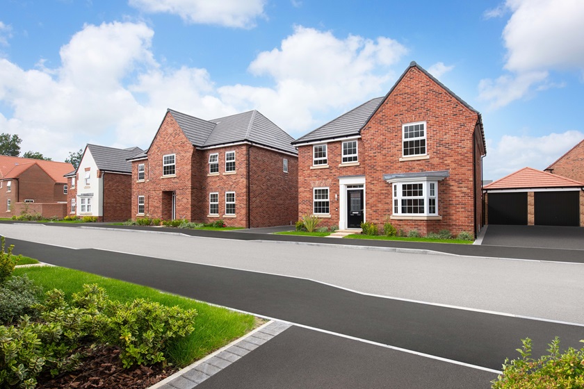
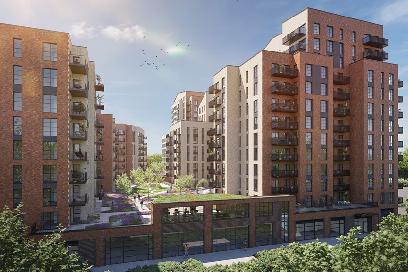
Comprises of 300 properties in total; 210 private and 90 affordable homes. The private homes consist of 1 & 2 bedroom flats and houses with 2, 3, 4 bedrooms, including semi-detached, terraced and detached homes.
Local area map
Site Plan & Local Area
- Site plan
- About the area


*Images and development layouts are for illustrative purposes, should be used for general guidance only and are not intended to form part of any contract or warranty unless specifically incorporated in writing. Development layouts including house types and tenures, the location of affordable housing, parking arrangements, play areas, landscaping and public open spaces are subject to change including any changes required due to a change in planning permission.
Get in touch
If you'd like to find out more about this development, please leave your details.
Download PDF brochure
To find out more about Ryebank Gate (Barratt)

Stamp duty calculator
Work out how much you'll need to pay


